Imagen principal
Distancia
12.61
Desnivel positivo
36.00
Desnivel negativo
36.00
Altitud máxima
326.00
Altitud mínima
255.00
Archivo KML
tudela-vuelta-a-la-balsa-de-cardete.kml (82.36 KB)
Ubicacion donde empieza la ruta
42.05061, -1.6487
Horas de recorrido
2
Minutos de recorrido
7
Tipo de ruta
Tipo de circuito
Dificultad técnica
Descripción corta
It is possible to complete a circuit of about 6km.
Descripción larga
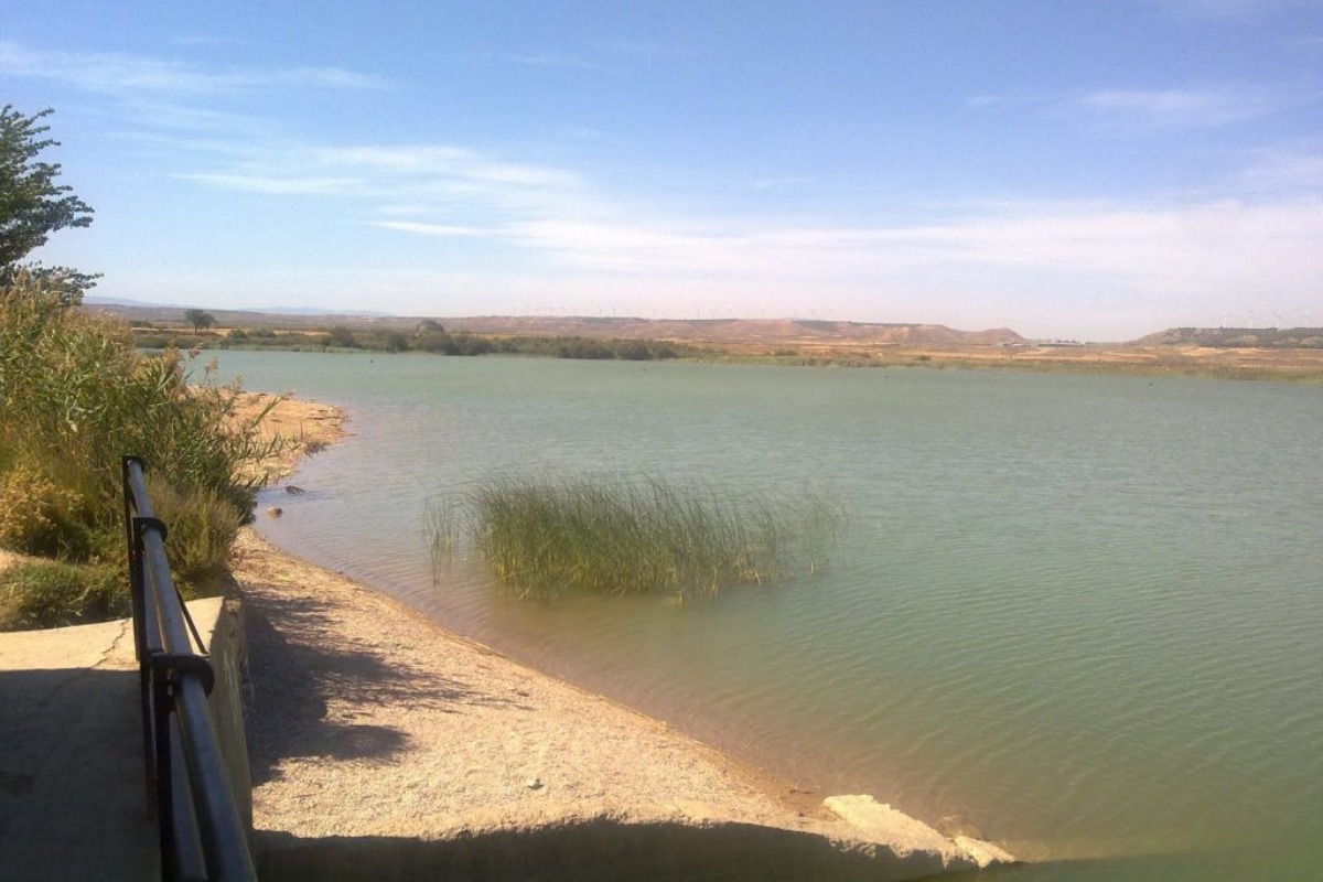
We take the NA-8640 regional road toward Murchante. At this reservoir, a dam retains the water supplied by the Lodosa Canal, which is used to irrigate the "Huertas Mayores" area of Tudela. Where the waters are shallower, the reeds extend their dense reed beds, providing refuge for little bitterns, egrets, herons, and mallards.
It is possible to follow a 6-km circuit through irrigated land surrounding the reservoir.
It is possible to follow a 6-km circuit through irrigated land surrounding the reservoir.
Destacado
Desactivado