Imagen principal
Distancia
40.53
Desnivel positivo
273.00
Desnivel negativo
273.00
Altitud máxima
433.00
Altitud mínima
256.00
Galería de imágenes
Archivo KML
pr-na-211.kml (196.35 KB)
Ubicacion donde empieza la ruta
42.06547, -1.60354
Horas de recorrido
3
Tipo de ruta
Tipo de circuito
Dificultad técnica
Descripción corta
A route in which the water of our rivers, canals and ponds plays a special role.
Descripción larga
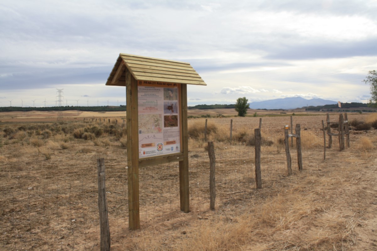
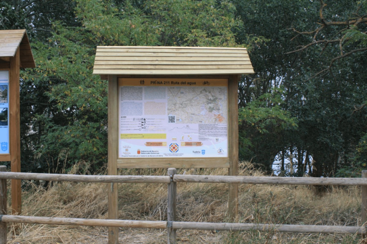
We invite you to enjoy this route, on foot or by bicycle, which runs through some of the most beautiful and varied natural landscapes in the municipality of Tudela.
The route can be completed in either direction, starting from the same point. This 40.6 km stage is graded as Level 1 in terms of the severity of the natural environment, orientation, and movement difficulty. It also offers the option of halving the distance at one point, thus limiting the effort required.
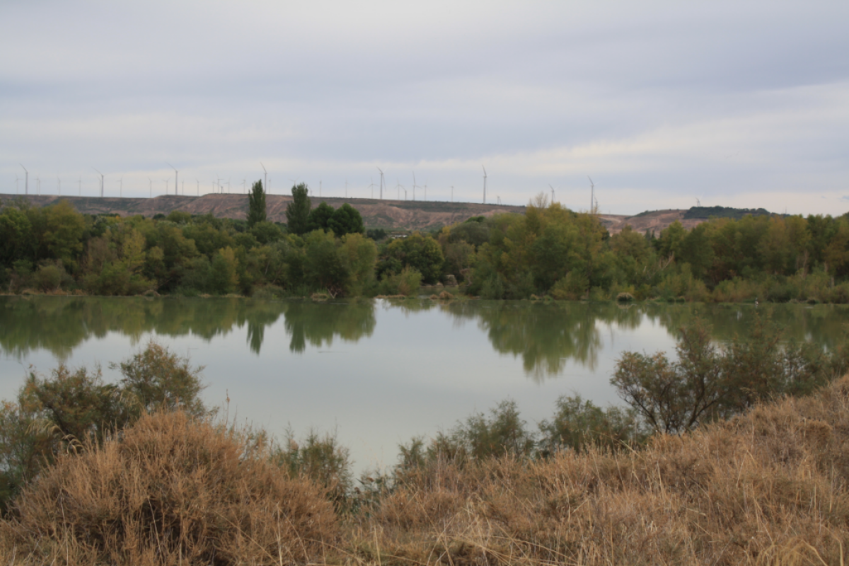
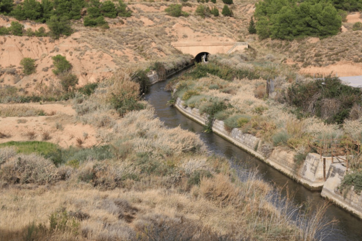
What will we see? We will start from the bridge over the Ebro River that leads into Tudela, a 360-meter medieval bridge with 17 unequal arches, which is part of the city's coat of arms. Our route will feature the Soto de los Tetones, with its flora and fauna observatory, the Barcelosa ravine, the ruins of the San Marcos hermitage, the Pulguer pond (suitable for swimming), the Lodosa canal, the Estanca de Cardete, cereal fields, pine forests, and low scrubland. We will return to Tudela after crossing the Queiles River and arriving at the Plaza de los Fueros below the arches of the Casa del Reloj. We will end at the starting point.
All of this with only two obligations: to respect the environment and the elements of the route, and, above all, to enjoy the journey.
The route can be completed in either direction, starting from the same point. This 40.6 km stage is graded as Level 1 in terms of the severity of the natural environment, orientation, and movement difficulty. It also offers the option of halving the distance at one point, thus limiting the effort required.
What will we see? We will start from the bridge over the Ebro River that leads into Tudela, a 360-meter medieval bridge with 17 unequal arches, which is part of the city's coat of arms. Our route will feature the Soto de los Tetones, with its flora and fauna observatory, the Barcelosa ravine, the ruins of the San Marcos hermitage, the Pulguer pond (suitable for swimming), the Lodosa canal, the Estanca de Cardete, cereal fields, pine forests, and low scrubland. We will return to Tudela after crossing the Queiles River and arriving at the Plaza de los Fueros below the arches of the Casa del Reloj. We will end at the starting point.
All of this with only two obligations: to respect the environment and the elements of the route, and, above all, to enjoy the journey.
Enlace
https://es.wikiloc.com/rutas-mountain-bike/pr-na-211-117252710
Destacado
Desactivado